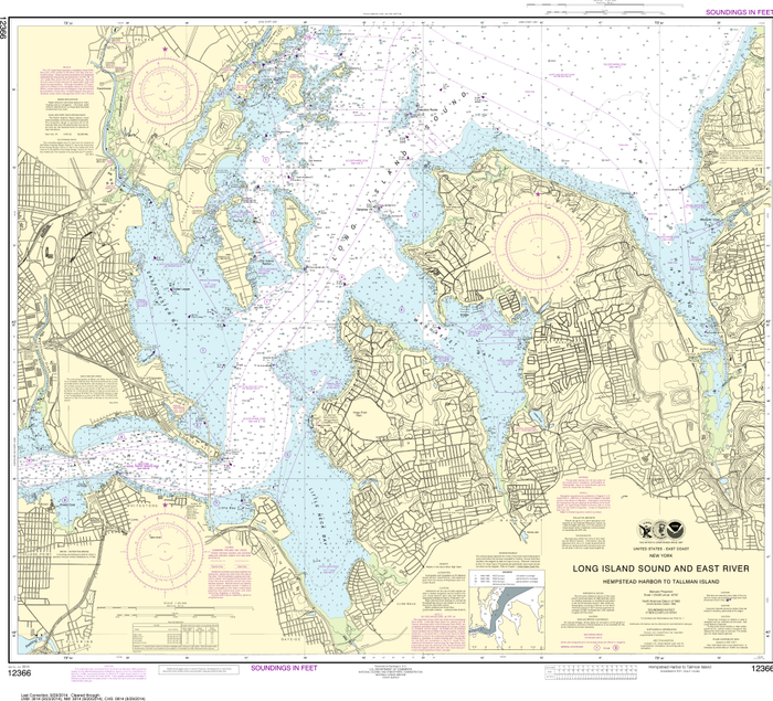
NOAA Chart 12366: Long Island Sound and East River - Hempstead Harbor to Tallman Island
NOAA Chart 12366: Long Island Sound and East River - Hempstead Harbor to Tallman Island
Regular price
$17.25
Regular price
$17.25
Sale price
$26.95
Unit price
per
BUNDLE & SAVE
Couldn't load pickup availability

NOAA Chart 12366: Long Island Sound and East River - Hempstead Harbor to Tallman Island
Regular price
$17.25
Regular price
$17.25
Sale price
$26.95
Unit price
per
The chart you are viewing is NOT updated weekly and does NOT include all of the latest Notice to Mariners corrections.
Region: Northeast Atlantic
Latest Edition: 30 Ed. (1-Oct-2014)
Last Correction: 21-Oct-2019
Cleared Through: NTM 47/2019 (23-Nov-2019)
Paper Size: 40" x 36"
Chart Image Size: 32" x 36"
Scale: 1:20,000
Captain's Nautical Supplies is a Print-on-Demand nautical chart dealer for US Waters. All charts are printed up-to-date and corrected to the latest Notice to Mariners and meet commercial carriage requirements. Charts are printed on high-quality heavy paper with waterproof ink unless otherwise selected.